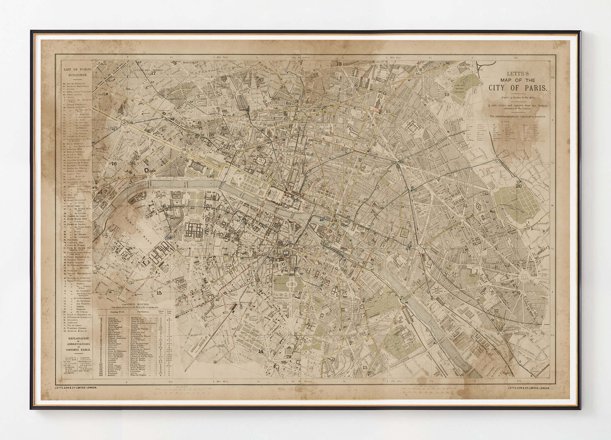
1886 Letts’s Map of the City of Paris Water Stained
$327.98 – $656.98
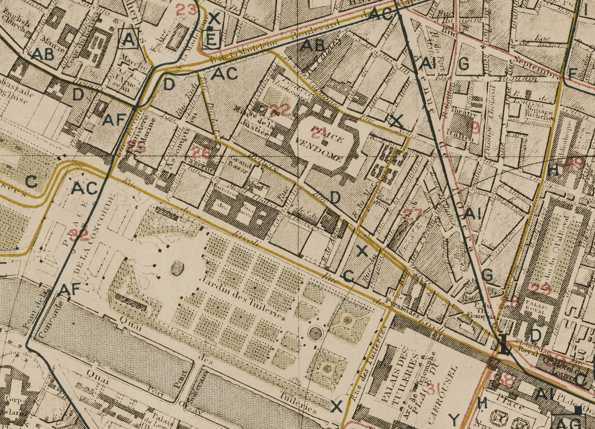
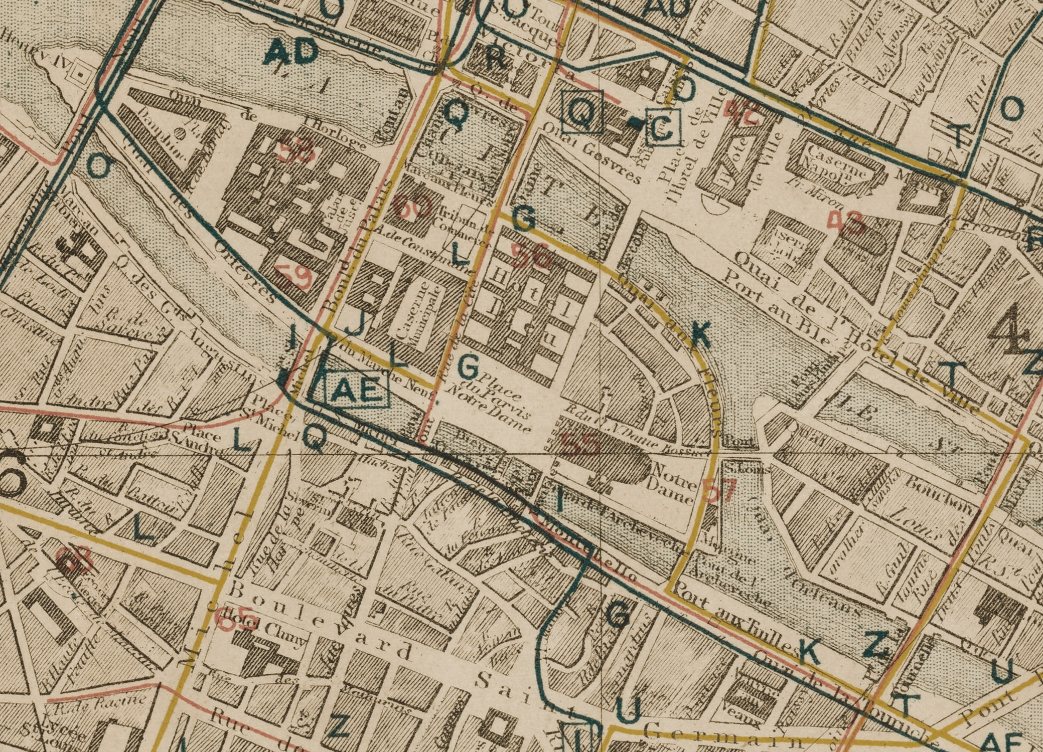
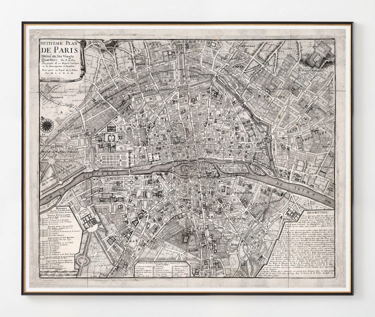
LETTS’S MAP OF THE CITY OF PARIS, scale: 4 Inches to the Mile., 1/2 mile circles and squares from the Eastern entrance to the Louvre. The arrondissements are indicated by numbers. LETTS, SON & CO. LIMITED.LONDON. Paris 1883, Paris 1886
Art Print:
Printed on acid-free, fine art paper. Fine art papers offer the greatest archival stability with image permanence often approaching – or even exceeding – 100 years. (10 mil thickness)
Shipping:
$56 Anywhere in North America, other destinations require a quote. Email us
1886 Letts’s Map of the City of Paris Water Stained
This Paris map print is reproduced from an archived antique by London’s venerable Letts & Son.
- Retains the original’s mottling and fading, the hallmarks of vintage paper
- Dating from the Victorian era, it’s a quaint guide to the City of Light just before the Eiffel Tower took shape
- A key locates the city’s arrondissements and historic monuments, from the Latin Quarter to Notre Dame
LETTS’S MAP OF THE CITY OF PARIS, scale: 4 Inches to the Mile., 1/2 mile circles and squares from the Eastern entrance to the Louvre. The arrondissements are indicated by numbers. LETTS, SON & CO. LIMITED.LONDON. Paris 1883, Paris 1886

